
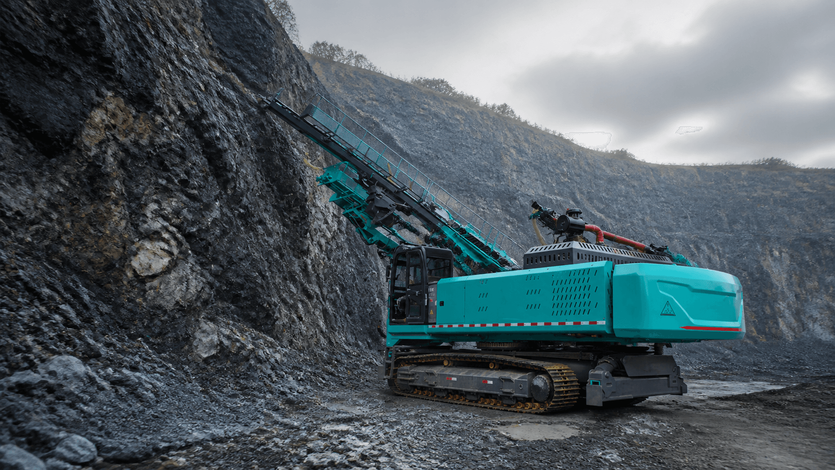
Drilling and Scaling Selection
Slope Drilling Rigs and Mining Scalers by Reach and Ground
The source package supports QCMG crawler slope and anchor drilling references plus a compact mining scaling machine. Selection follows work height, hole, geology, mast or boom envelope, slope or roadway, stability, power, transport, safety, and destination requirements.
Published values reproduce supplied working tables. Several source fields and section references need exact-model confirmation before quotation. Compliance and manufacturer identity are matched to the ordered unit.
QCMG150-350
Six slope-drill source model codes
15-35 m
Lifting-height naming in source material
Ø300 mm
Supplied drilling-diameter reference
50 m
Supplied drilling-depth reference
Equipment Families
Choose by Reach, Hole, Ground, and Access
Use the nearest machine family to prepare the work height, hole, geology, slope or roadway, setup, transport, power, safety, quantity, destination, and document data needed for a technical quote.
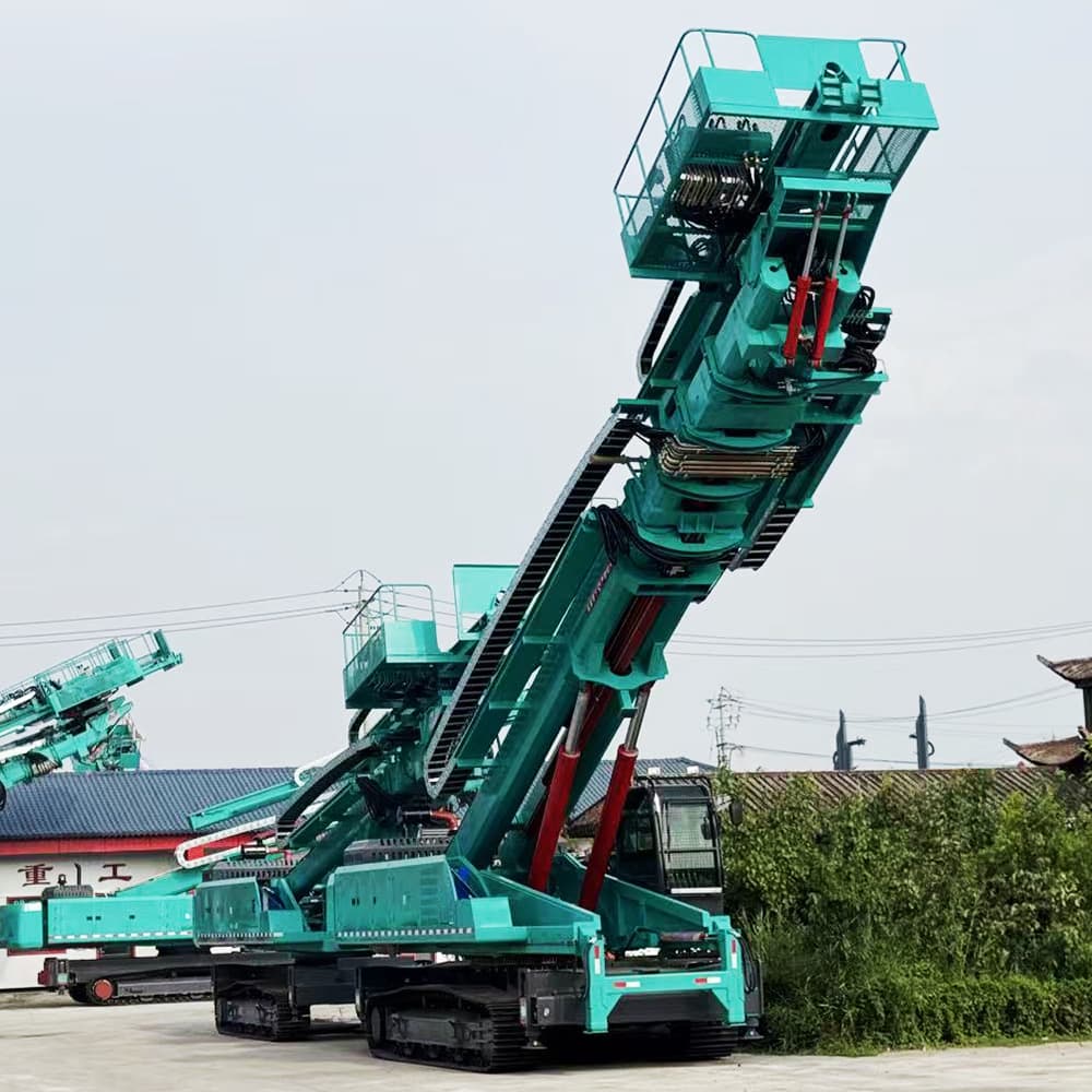
Teal crawler slope drilling rig with its lifting structure fully visible in a supplier yard
/images/qcmg-slope-drill-rig-v2.jpg
QCMG Slope and Anchor Drill Rigs
Crawler slope and anchor drilling references QCMG150 through QCMG350, selected by lifting height, hole, geology, site, and transport.
Open selection page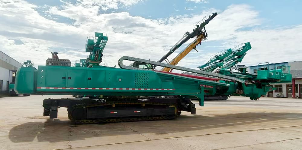
Crawler slope drill with mast raised for mid-height work
/images/15-22m-lifting-drill-rig.jpg
15-22 m Lifting Drill Rigs
Lower and mid-range lifting-height references for slope, anchor, foundation, and support drilling where access and transport are constrained.
Open selection page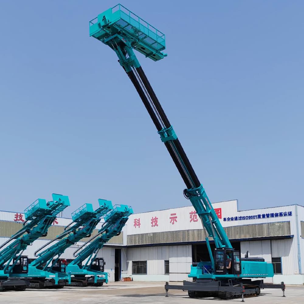
Large teal crawler slope drill shown at full lifting height in a supplier yard
/images/25-35m-lifting-drill-rig-v2.jpg
25-35 m Lifting Drill Rigs
Higher lifting-height references for slope and anchor work requiring larger carriers, setup footprints, transport planning, and stability review.
Open selection page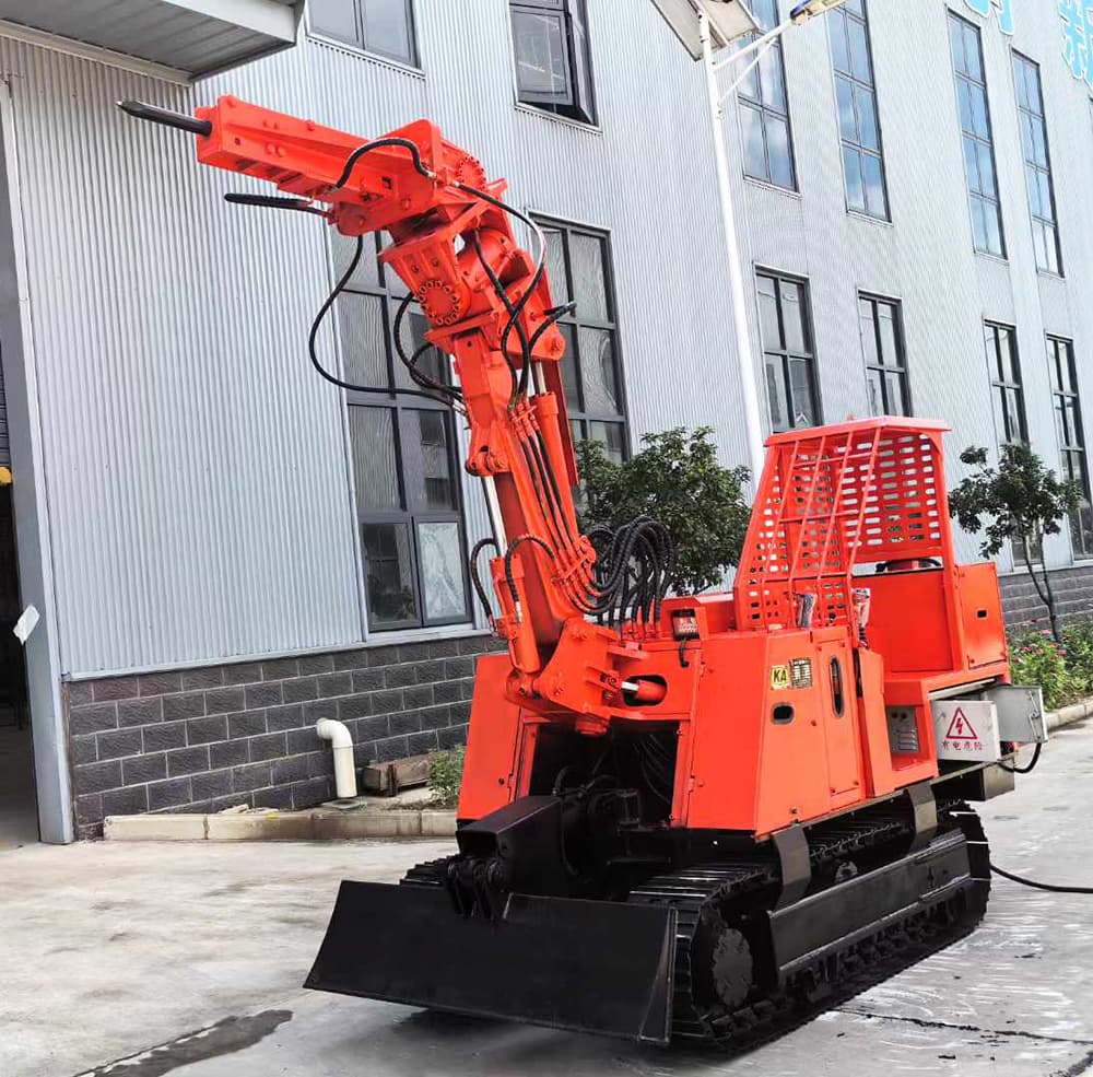
Red crawler scaling machine photographed outside a workshop
/images/mining-scaling-machine.jpg
Mining and Tunnel Scaling Machine
A compact crawler scaling-machine reference for controlled removal of loose rock in mine and tunnel headings.
Open selection pageProject Workflow
From Work Geometry to a Verifiable Equipment Scope
01
Map the Work
Slope or roadway geometry, reach, hole location, access, setup, clearance, ground, and hazards.
02
Define the Task
Hole diameter and depth, geology, method, flushing, tooling, production, or scaling height and rock condition.
03
Match the Carrier
Lifting height, mast or boom, chassis, stability, power, controls, transport, and auxiliary systems.
04
Verify the Order
Model, dimensions, configuration, functions, documents, tools, spares, packing, and shipment evidence.
Evidence Boundary
Exact Models Before Exact Claims
The slope-drill table lists six QCMG codes and common hole references. The scaling files contain two section descriptions that do not fully agree. The website keeps those boundaries visible and requires the released exact-model sheet.
- No silent resolution of conflicting source fields
- No certificate claim from file names or photos
- Reach, hole, and carrier data tied to exact model
- Site stability and operating safety reviewed separately
Frequently Asked Questions
Short answers for slope contractors, mines, tunnel operators, dealers, and engineering companies.
What is the first input for a slope drilling rig?
Start with the required lifting or working height, hole angle and position, diameter and depth, geology, drilling method, slope and bench geometry, setup area, access, transport limits, power, production target, and destination.
Does every QCMG model drill 300 mm diameter and 50 m deep?
The supplied table repeats those references across the listed rows. Treat them as source-table values and confirm the released exact-model operating range, geology, tooling, and method before contracting.
What roadway section is required for the scaling machine?
The source files contain two section references, including a 2.0 × 2.0 m table value and a different minimum description. Send the real roadway profile and request the released model drawing before relying on either.
Will inquiries remain compatible with the existing Zhongmei backend?
Yes. The form uses the current shared fields and source_site=zhongmei-drilling-scaling, so the existing admin workflow can filter, annotate, update, and export records.
Send the Reach, Hole, Ground, and Site Envelope
Tell us the lifting height or work reach, hole diameter and depth, geology, slope or roadway dimensions, power, quantity, destination, and document requirements. We will return the open selection questions.